 TopoKin
On a trip
Where is everyone?
Your kin show as dots with names. Swipe the bottom panel up for a row of everyone, nearest first: tap a name to see them on the map with distance, direction and climb. Tracker radios (kin carrying a radio instead of the app) show with a 📟.
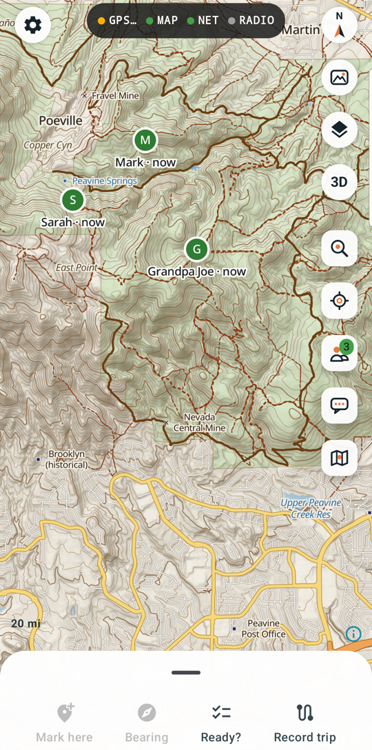
The color of a dot tells you how fresh their position is:
| Color | Means |
|---|---|
| Green | updated in the last few minutes: they're about there |
| Amber | it's been a while |
| Grey | old: where they were last seen |
| Blue | you |
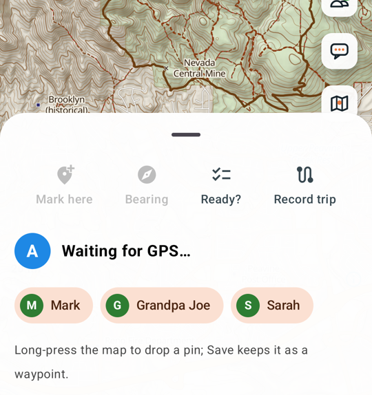
Someone off the edge of the screen? A bubble at the edge points to them (Map layers › People off screen).
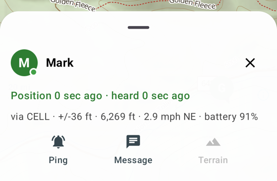
Tap a person for Ping (asks their phone for a fresh position), Message, and Terrain (the ups and downs between you).
Messages
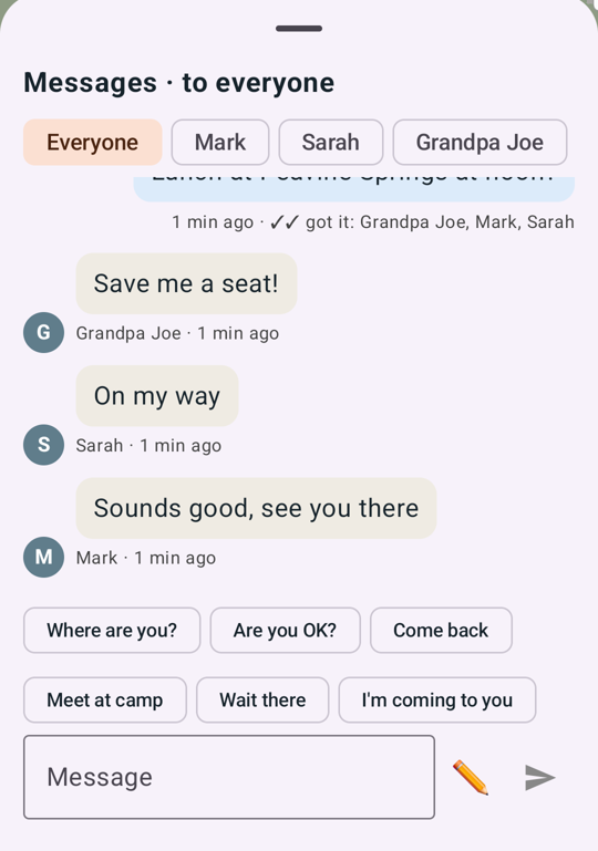
Tap Messages on the right. Choose who it's to: Everyone, one person (private), or a 📟 tracker (it shows on the radio's screen). The quick buttons send common messages; you get 3 seconds to Undo.
Under each message you sent:
- ✓ sent: it left your phone.
- ✓✓ got it: Mom, Dad: their phones received it. For a tracker, ✓✓ delivered means its radio got it.
 - not sent in red: no internet and no radio at that moment. Try again when you have one.
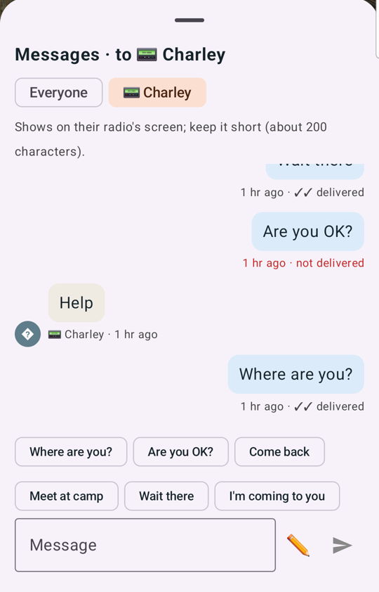
With no internet but a radio connected, messages go by radio ("Message (by radio)" in the box; keep them short).
Marking and sharing places
- Mark here (bottom) saves where you're standing as a waypoint and asks for a name.
- Long-press the map to drop a pin anywhere, then Save to keep it, Send to share it with the group, or Rally here.
- Find searches peaks, springs, roads and your own waypoints, even offline.
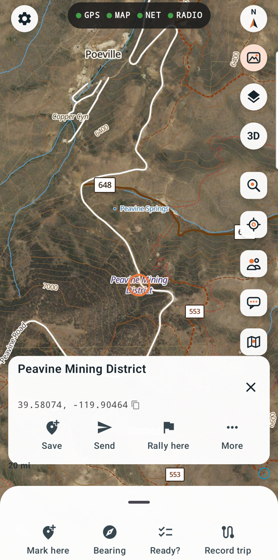
Places your group shares show as blue pins. Tap one to save it, or More › Hide to take it off your map (Map layers › Shared places shows hidden ones again). Shared pins fade away after a week.
Your waypoints are in Find (with an empty search box): filter, sort, put them in folders, or Export GPX.
Rally point: "everyone come here"
On any pin or waypoint, tap Rally here, name it ("Camp", "Truck") and send. Every phone in the group shows a 🚩, and every tracker radio shows it on its screen with the distance (and direction once moving), for 3 hours.
Anyone can clear it: Group › Radios shows the current rally with Clear.
Bearings: find something you can see or hear
Smoke on a ridge, an elk, a shout in the trees:
- Tap Bearing (bottom). Hold the phone flat and point its top at the thing. If it says Compass unsure, wave the phone in a figure 8 first.
- Name it (Smoke, Elk) and tap Take bearing. A dashed red line goes out from you, on everyone's map.
- Take a second bearing on the same target from another spot at least 100 m to the side, or have someone else in the group take one.
Where the lines cross, a 🎯 appears. Tap it for how sure it is, and to Save, Send or Rally here.
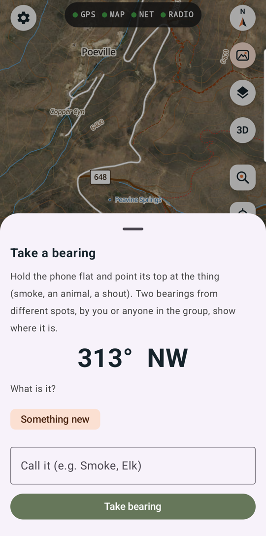
Bearings disappear after 2 hours. To remove them sooner: the 🎯's More › Remove bearings, or the ✕ on the target in the Bearing panel.
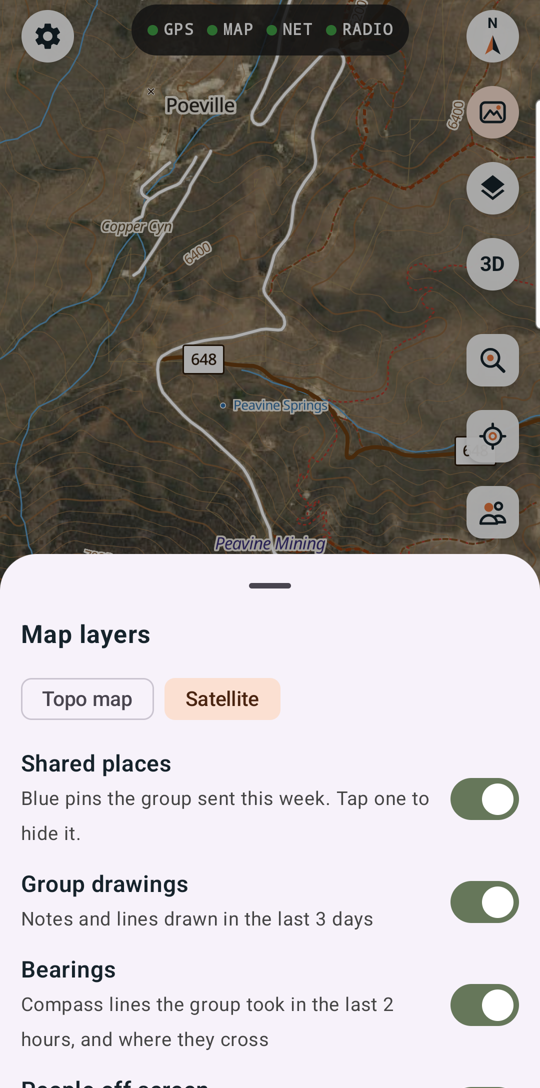
Terrain and 3D
- Terrain on a person, pin or waypoint draws the elevation profile between you and it. A straight line, not a route.
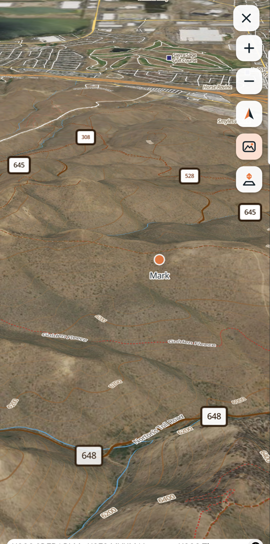
- 3D (top right) tilts the map into real terrain with your kin, trackers and bearings on it. Drag with two fingers to tilt.
- The satellite button switches photos on and off.
Recording a trip
Record trip saves your track until you End trip. Ending asks whether to End & export a GPX file for other apps. Your everyday trail (the last 6 hours) shows as a line; turn it off or clear it in Map layers and the bottom panel.
No signal
Everything on the map keeps working offline: maps, GPS, your waypoints, search, terrain, 3D. With a radio paired, positions and messages keep flowing between your group's radios (the RADIO light is green, NET isn't). Without internet or a radio, things you send wait for you to try again.
Next: Radios and trackers.